Surveying and Mapping
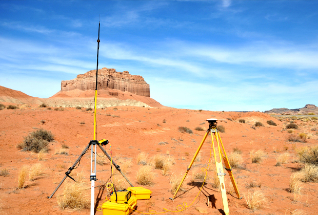
GNSS is an important technology for surveying and mapping applications. CORS receivers and RTK receivers are important tools for surveying and mapping. With the development of global satellite navigation and positioning technology and the improvement of global satellite navigation system, surveying and mapping industry has made much headway.
Inquiry